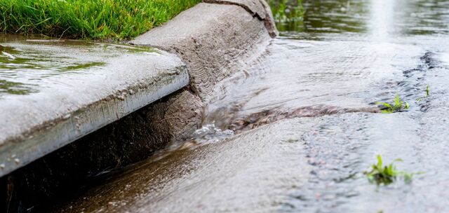
A new study is providing Surf Coast Shire Council with a better understanding of the region’s stormwater network and associated risks.
The Anglesea and Aireys Inlet Stormwater Flood Study was the first of its kind for council and explored ways to identify stormwater issues, plan for infrastructure upgrades and explore mitigation options.
Mayor Mike Bodsworth said Anglesea and Aireys Inlet were chosen for the study first because they had historical stormwater issues, and it was important for council to be proactive.
“We’re experiencing more extreme weather events that are impacting our assets, including drains,” he said.
“As a council, we have a responsibility to plan for climate change risks, which includes exploring how we can invest in assets so that they can withstand severe weather events in the future.
“While the mapping isn’t able to tell us precisely what will happen in a severe rainfall event, it shows which areas are more prone or less prone to flooding caused by stormwater.
“Many locals would recall the severe storm in January 2022, which resulted in flooding of properties on the drainage line between the Anglesea Golf Course and its outlet at the Anglesea River.
“(The study) will enable us to pursue funding opportunities for mitigation options, such as stormwater network upgrades, further work with emergency services, and potential building floor-level advice for residents.”
Visit surfcoast.vic.gov.au/StormwaterStudy for more information and to access the full flood study reports.


