Excellent rain during June has lifted the region’s water storages back over 70 per cent of capacity.
Barwon Water measured 72.4 per cent earlier this week as the storages continued climbing toward three-quarters full.
The entire region recorded well-above-average rain in June for a promising start to winter.
The Geelong area received over 140 per cent of its June normal, 46mm, with totals generally over 60mm across the urban area.
Otway ridge towns Lavers Hill and Beech Forest received 296mm and 257mm respectively.
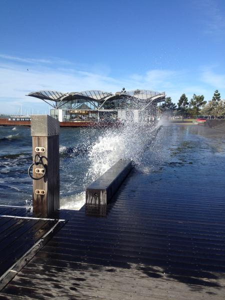
The causes of the June drenching were largely the series of very active low-pressure systems that crossed the region in the final eight days of the month. These warm-cored systems passed over the state and Bass Strait, bringing wild, cold and mainly overcast wintry weather with strong wind gusts and sometimes squally rain.
Strangely enough, the wettest 24 hours were up to 9am on 15 June when another slow-moving low produced 20mm at Geelong.
Rain was recorded on 17 days for the month.
Somewhat surprisingly to many people, the temperature averages for June were above the long-term average. It was the warmest June since 1991 and the third warmest overall.
Daily minimums averaged 8C, 1.7C above the 30-year mean, and maximums were 15.4C, which was .9C above.
Only the last eight days really felt like winter, with strong winds lowering the wind-chill factor by several degrees.
The coldest day was 29 June with a 12.4C maximum. The warmest was 11 June with an 18.8C maximum.
The lowest minimum was 2.4C on 11 June.
The wintry conditions of the final eight days of the month were notable particularly for the outbreak of at least six consecutive days, from 23 to 28 June, when gusts exceeded 60km/h in Geelong. Outlying areas such as Avalon, Point Wilson and Mt Gellibrand received stronger blasts.
Urban Geelong’s worst day was 24 June when gusts of 83km/h were recorded at Breakwater and 104km/h at Avalon.
The resultant widespread damage to trees and roofs combined to mark the second severe storm event for the year.
Storages surge after June rain

Digital Edition
Subscribe
Get an all ACCESS PASS to the News and your Digital Edition with an online subscription
World-class choirs on display
Local singers will have the chance to rub shoulders with Australia’s best when choirs from around Australia and New Zealand converge on Geelong next...


