Under the Weather, by Lindsay Smail
March 2017 was much warmer than normal across the Geelong region.
The month’s average minimums were 2.6C above the usual 12.3C and maximums 2.5C above the long-term 23.3C.
The overall difference was therefore 2.6C above the mean, making the month just past Geelong’s fourth-hottest March on record.
The much warmer-than-normal nights of March’s Indian summer were probably the most noticeable players in this result.
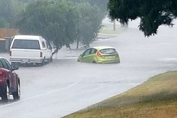
A massive severe rainstorm struck most of the region on 22 March, bringing falls of 103mm at Lorne, 101mm at Airey’s Inlet and 77mm at Clifton Springs-Drysdale.
In urban Geelong Breakwater recorded 33.4mm and Corio had 58mm, while Lara received 58mm.
The downpours resulted from thunderstorms that covered much of south-western Victoria as part of a weather system about which the Bureau of Meteorology became certain only two days prior.
Flash flooding was the dominant feature of the event, striking around the region at localities including Drysdale and central Geelong.
In fact, the flash flooding was as widely separated as Wye River and Lara, affecting townships along the Surf Coast and suburbs around Geelong.
As a result, most of the Geelong region, except the northern Otways, received more than the normal March rain, in some cases more than double the month’s usual figures.
The most rain in the region for the month was at Durdidwarrah, with 135.2mm, followed by Airey’s Inlet, 124mm, and Lorne, 106.6mm.
The region’s water catchment finished the month at 66 per cent of capacity.
Other notable features for March 2017 included one strong wind day with a gust of 80km/h on the 27th, with Point Wilson recording a maximum of 95km/h.
* Lindsay Smail operates Geelong Weather Services.


