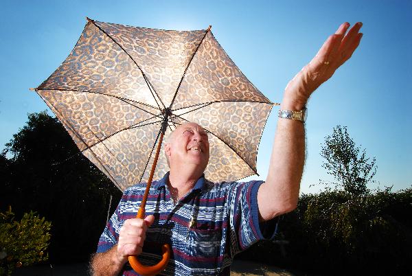
Well-above average rain drenched the entire Geelong region in July.
The urban area had around 86mm for the month, almost double the latest 30-year average.
The region’s highest total for July was at Mt Sabine, in the Otway catchment, with a staggering 358.2mm.
The region’s lowest total for the month was Leopold with 67mm, although it was still above average.
Some minor flash flooding occurred on 13 and 14 July despite the sixth day of the month recording the highest 24-hour total, 19mm.
Consequently, the region’s water catchments have continued filling to stand at 49 per cent of capacity at the end of the month.
Believe it or not, Geelong’s average daily temperature for July was around 0.9 degrees Celsius higher than the latest 30-year normal.
The month’s average daily minimum was 7.1 degrees Celsius, compared to the 30-year figure of 5.7 degrees Celsius. Maximums averaged 14.4 degrees Celsius, compared to 14 degrees Celsius.
The coldest minimum overnight was 0.2 degrees Celsius on 17 July, which was the only frost event for the month.
The warmest night was on 19 July with 12.1.
On the coldest day, 26 July, the temperature rose only to 10.8 degrees Celsius – but on the mildest day, the 18th, it hit 19.4 degrees Celsius.
July had six very windy days. The 12th included a maximum gust of 100km/h at Breakwater, with 113km/h measured at Point Wilson.
Other strong gusts the same day included Avalon’s 95km/h and Queen’s Park’s 93km/h.
Snow fell in the Lorne, Lavers Hill and Beech Forest areas on 13 July, which also recorded some severe storm damage to house roofs and trees in Geelong.
Geelong’s wet – and surprisingly warm – July

Digital Edition
Subscribe
Get an all ACCESS PASS to the News and your Digital Edition with an online subscription
Reviving a long-distance relationship
Geelong has welcomed an international delegation in a first step to reigniting a long-standing inter-city relationship.
Delegation members from Japanese city Izumiotsu, led by Mayor...


