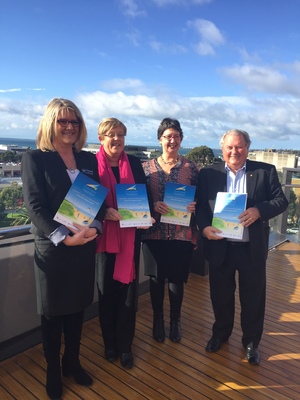
A new report showing large areas of local foreshore under water from climate change will be used as a “planning tool”, according to a City Hall administrator.
The first step in adapting the projections would be a “community engagement process” to develop “viable solutions” for Geelong and the Bellarine Peninsula, Dr Kathy Alexander said.
“It’s important to understand this is a long-term planning tool. While there’s no immediate risk, it makes sense to utilise the best scientific data now so we can minimise impacts in the future.”
The report is part of a joint Our Coast project between City Hall, Borough of Queenscliffe, State Government and foreshore management committees. The project seeks to develop planning responses to predicted sea level rises reaching 80cm by 2100.
Queenscliffe adopted planning scheme changes in 2010 to deal with predicted sea rises. The changes led to planning restrictions and rate hikes for land deemed at risk of flooding, prompting ratepayers to form a Save600 group on behalf of the 600 affected properties.
Authorities will conduct a series of “open houses and community workshops” in each of the areas identified at risk of flooding in the Our Coast report.
“Sharing the latest information with communities and involving them in the coastal adaptation process is key to developing viable solutions,” Dr Alexander said.
“The community engagement process enables us to incorporate community values and priorities into action plans for each of the coastal areas.”
The report is available at ourcoast.org.au.
Planners to ‘use’ maps of sea rise

Digital Edition
Subscribe
Get an all ACCESS PASS to the News and your Digital Edition with an online subscription
World-class cycling returns
Thousands of cyclists will ride across Geelong, the Bellarine and Surf Coast roads next week as The Cadel Evans Great Ocean Road Race returns....


